Guide
Counting people, cyclists and vehicles outdoors.
Outdoor places are harder to measure than buildings: there are no doors, conditions vary and power or connectivity may be limited. Yet councils and public-realm managers still need evidence of how parks, trails, foreshores, plazas and streets are used, and how that changes over time.
Paths, trails and active transport
Counting on shared paths and trails measures pedestrian and cyclist volumes and direction, so the effect of new infrastructure can be tracked. Trends by day, week and season show growth and help prioritise maintenance. Read more about parks and foreshores.
Streets, plazas and town centres
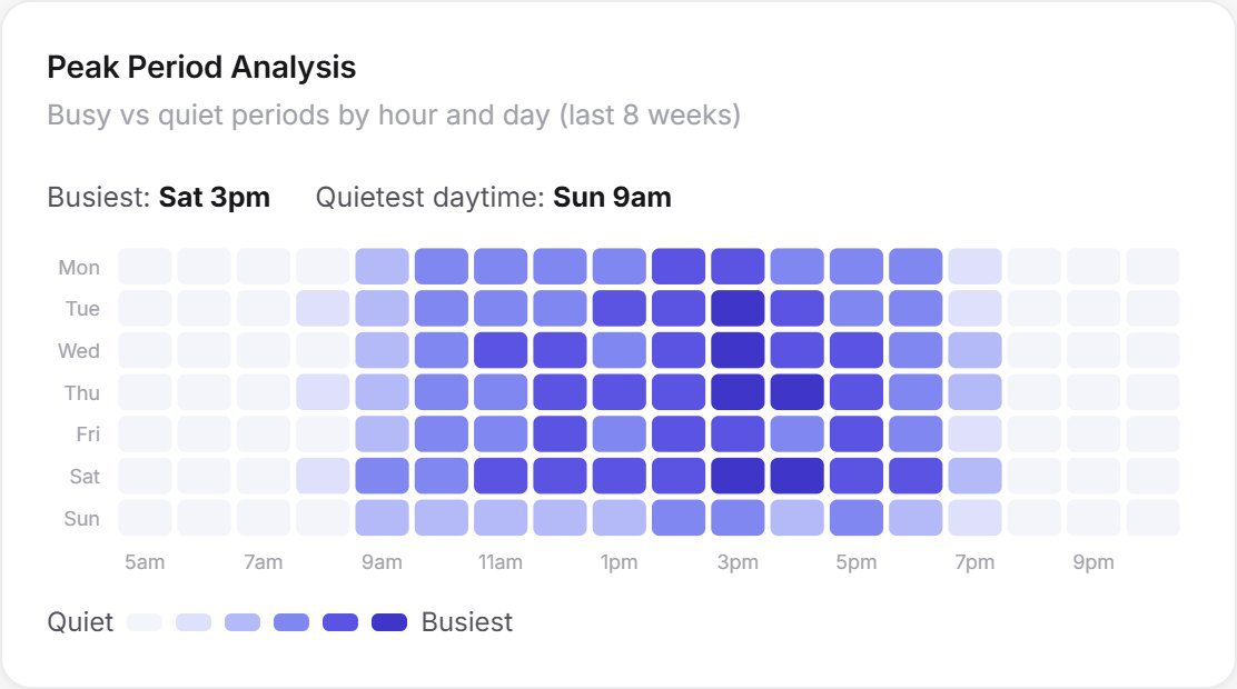
Pedestrian counts at key points in streets and laneways show how activity varies by hour, day and season, supporting place management, events and economic development. Vehicle counting can be added at roads, access points and car parks.
Before, during and after projects
Measuring before a project begins, during works and after completion shows how a new crossing, path or plaza has changed the way people use an area. Forecasting extends this into planning for future demand.
Designed for Australian conditions
Each location is assessed for power and connectivity, and the technology is chosen to suit urban, coastal or remote environments. Deployments can be permanent or temporary for events. See how it fits together on the platform page and for councils.